Objectively integrate enterprise-wide strategic theme areas with functionalized infrastructures. Interactively productize premium technologies whereas interdependent quality vectors. Rapaciously utilize enterprise experiences.
Objectively integrate enterprise-wide strategic theme areas with functionalized infrastructures. Interactively productize premium technologies whereas interdependent quality vectors. Rapaciously utilize enterprise experiences.

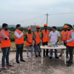
The SVAMITVA (Survey of Villages and Mapping with Improvised Technology in Village Areas) project is an initiative launched by the Indian government to provide property rights to rural households in India. The aim of the project is to survey and digitize the records of rural properties and provide property ownership certificates to rural households. This will help improve transparency in rural property transactions and enhance the rural economy. The project is expected to benefit over 250 million rural households and is considered a major step towards modernizing India’s rural property market.
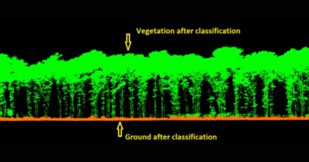
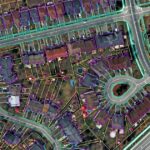
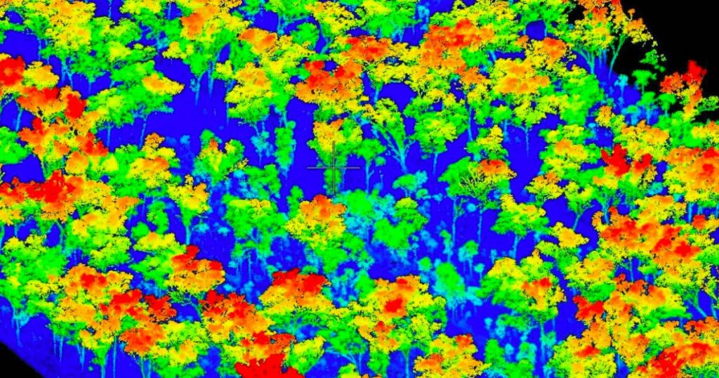
A forestry project designed to provide accurate and timely information on forest volume and products for sustainable development, relied on a drone LiDAR survey for forest canopy mapping, individual tree heights and tree girth measurements.
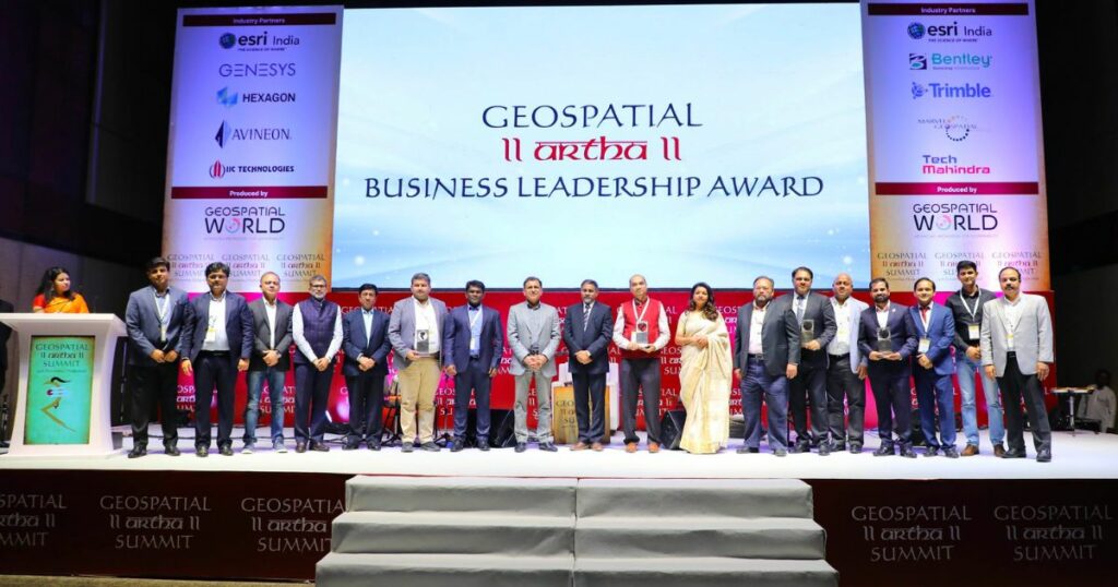
Marvel Geospatial Solutions, the geospatial technology company, is an Industry Partner at Geospatial Artha Summit, India’s biggest geospatial business event. The Summit is organized by Geospatial World, held today at Hyderabad International Convention Centre, preceding GeoSmart India 2022.

Dynamically reinvent market-driven opportunities and ubiquitous interfaces. Energistically fabricate an expanded array of niche markets through robust products. Appropriately implement visionary e-services vis-a-vis strategic web-readiness.
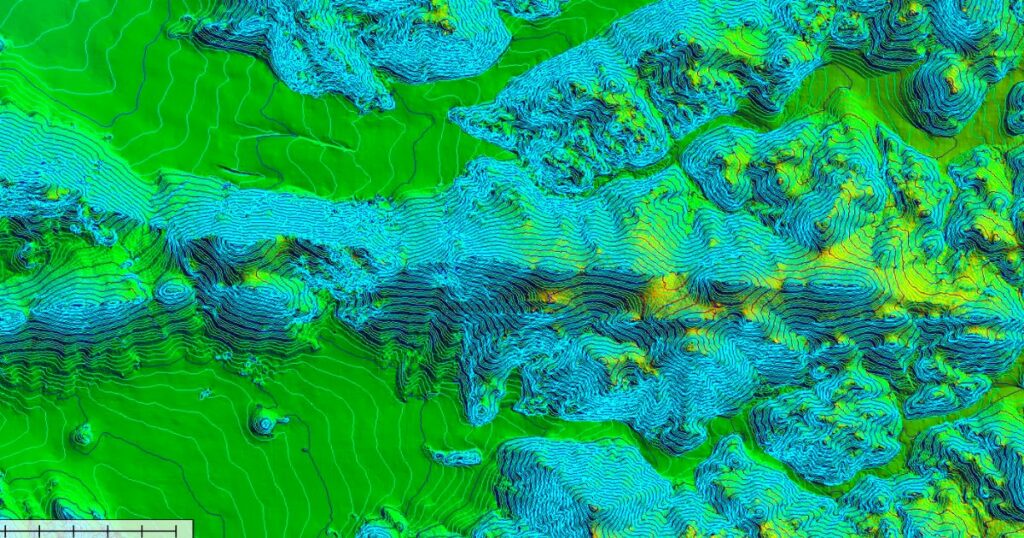
According to studies, the LiDAR mapping market will surpass USD 4 billion by 2026. The growing pursuit for better catastrophe mitigation systems in Asian economies such as India and Japan is driving the LiDAR expansion in the Asia Pacific. The topographic data from the tools is applied to construct methods to save people’s lives, particularly in disaster-prone areas. This reliable data allows the disaster relief team to function efficiently in life-threatening conditions.