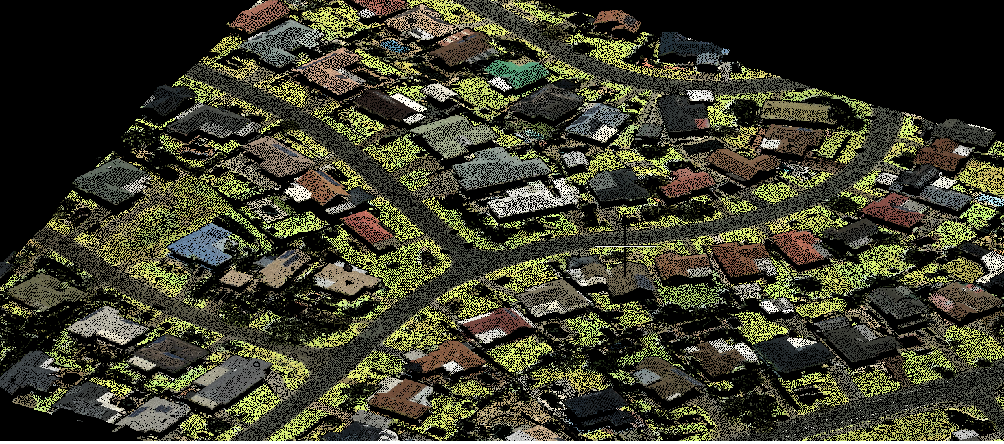
Capturing millions of precise distance measurement points each second, LiDAR technology (Light Detection and Ranging) has emerged a game changer in spatial data adoption. LiDAR mapping offers a wide range of benefits over traditional mapping, such as high accuracy data in short time; higher sample density; accurate information for challenging areas such as geological fractures and canopies, lack of geometric distortions, accurate 3D models due to detection of minute objects, amongst others. Integration with other data sources and addition of survey data to GIS allows overlay of maps, images, distance measurements and GPS positions.
Whether you want geo-referenced LiDAR data, LiDAR 3D modelling, or LiDAR data processing, we have you covered with solutions for all your LIDAR requirements.
Survey & mapping
- UAV LiDAR surveying
- Terrestrial LiDAR surveying
- Mobile / vehicle -mount LIDAR
- High fidelity data
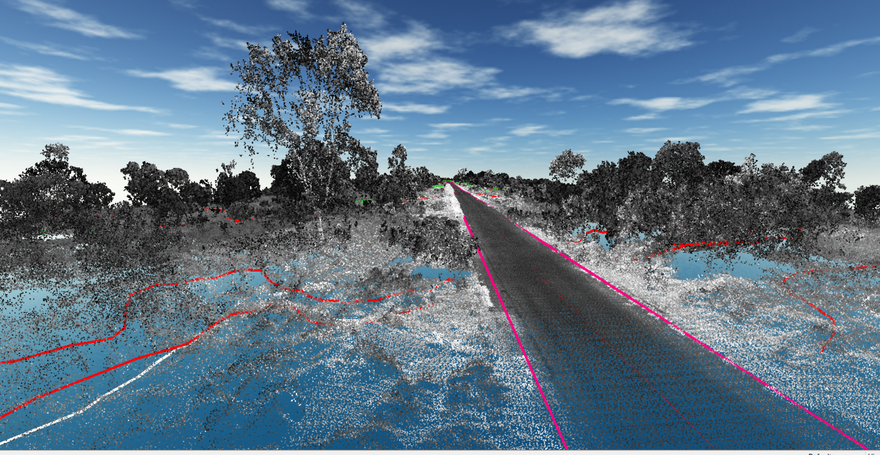
- 3D point cloud generation

Data processing
- Point cloud classification
- DSM
- Feature extraction
- Contour generation
- Building extraction
- Advanced as-built 3D modelling
- Powerline classification
- PLS – CADD Modelling
- Terrain modelling
Planimetric mapping
- Detailed orthomosaics
- Elevation maps (DEM)
- Terrain maps
- Precise contours
- Details like transportation, buildings, structures, hydrography, vegetation, boundaries, utilities etc for comprehensive GIS solutions
Let us know your requirement.
Get in touch with us for:
- Free consultation
- Service Order
- After-sales support