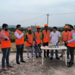
Pre-flight preparations are essential for safe and cost-effective drone operations, whether you’re mapping terrain or doing anything else. They help […]
Pre-flight preparations are essential for safe and cost-effective drone operations, whether you’re mapping terrain or doing anything else. They help […]

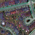
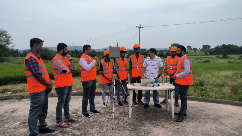
Use of drones for effective disaster management Disasters pose significant challenges and burdens on governments and relief organizations. Technological advancements […]

Objectively integrate enterprise-wide strategic theme areas with functionalized infrastructures. Interactively productize premium technologies whereas interdependent quality vectors. Rapaciously utilize enterprise experiences.
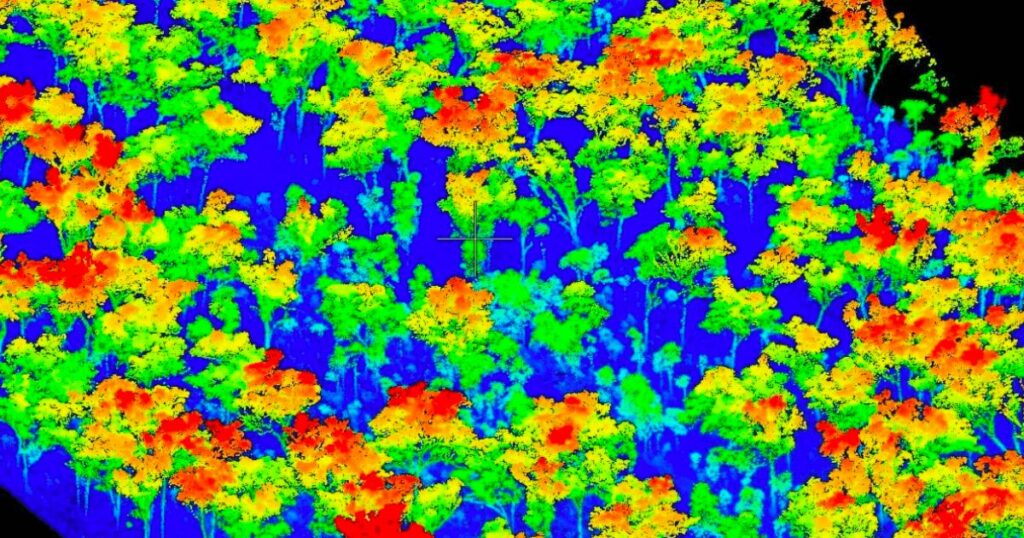
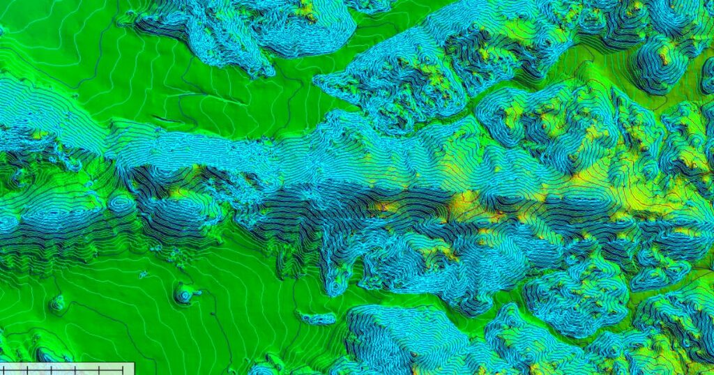
According to studies, the LiDAR mapping market will surpass USD 4 billion by 2026. The growing pursuit for better catastrophe mitigation systems in Asian economies such as India and Japan is driving the LiDAR expansion in the Asia Pacific. The topographic data from the tools is applied to construct methods to save people’s lives, particularly in disaster-prone areas. This reliable data allows the disaster relief team to function efficiently in life-threatening conditions.