With the drone-based technology intervention, construction speed has increased drastically, upto five times for kilometre construction per day as compared to few years ago. Such technology-based progress has helped the Ministry consistently set new records in per day construction, while targeting greater efficiencies.
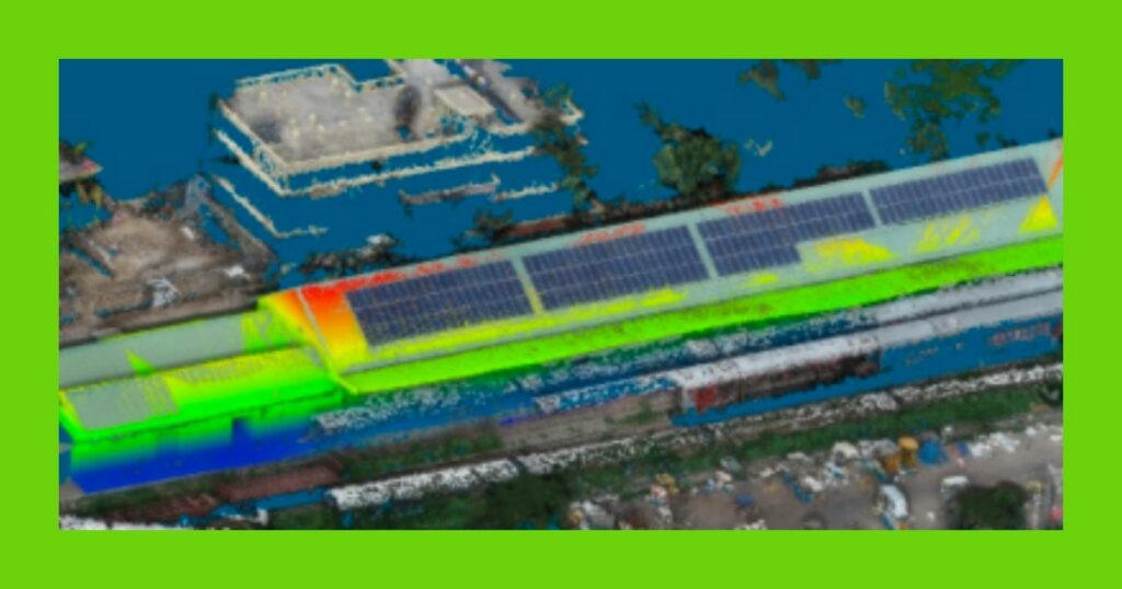
Drone and LiDAR survey for feasibility assessment of elevated rail-cum road-corridor
A rail network utilized drone-based LiDAR survey to meet the high-quality land information required for feasibility assessment of elevated rail-cum-road corridor along the existing rail network
Drone-based mapping for rural property validation under SVAMITVA scheme
The SVAMITVA (Survey of Villages and Mapping with Improvised Technology in Village Areas) project is an initiative launched by the Indian government to provide property rights to rural households in India. The aim of the project is to survey and digitize the records of rural properties and provide property ownership certificates to rural households. This will help improve transparency in rural property transactions and enhance the rural economy. The project is expected to benefit over 250 million rural households and is considered a major step towards modernizing India’s rural property market.
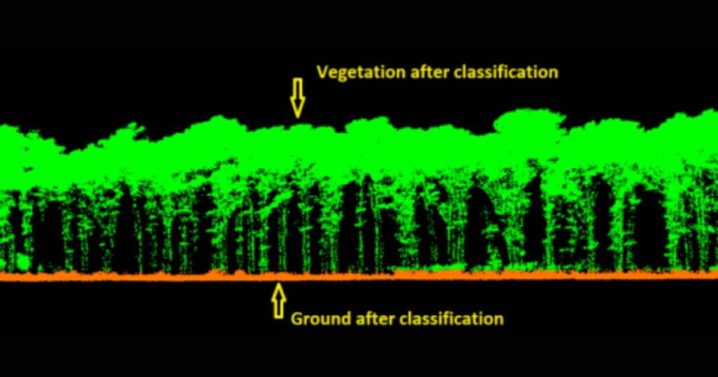
Forest canopy mapping with drone LiDAR
A forestry project designed to provide accurate and timely information on forest volume and products for sustainable development, relied on a drone LiDAR survey for forest canopy mapping, individual tree heights and tree girth measurements.
Search
Categories
- Blog 5
- Blogs 2
- Case study 4
- News 1
- News and Events 6
Recent Posts
-
 Five Crucial Drone Pre-Flight Procedures for Saving $$$
 -
 Use of drones for effective disaster management
 -
 Marvel Geospatial collaborates with Disasters Expo USA 2023, Anaheim, September 27 & 28
 -
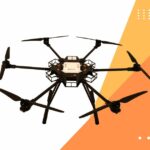 Marvel Geospatial forays into drone manufacturing
 -
 Understanding accuracy in photogrammetry: Relative and absolute measurements

