Use of drones for effective disaster management
Disasters pose significant challenges and burdens on governments and relief organizations. Technological advancements have emerged as game-changers in the quest for more efficient and effective disaster management. Among these innovations, drone technology has revolutionized the field, offering time-sensitive results and accurate data for disaster response and relief efforts.
By transcending traditional approaches, drones provide valuable support and aid during times of crisis. Remotely Piloted Aerial Systems (RPAS), such as drones and UAVs, offer speedy relief to affected areas, thereby improving public safety and reducing the impact of disasters.
Applications of drones in disaster management
Here are some of the key applications of drones when disasters strike.
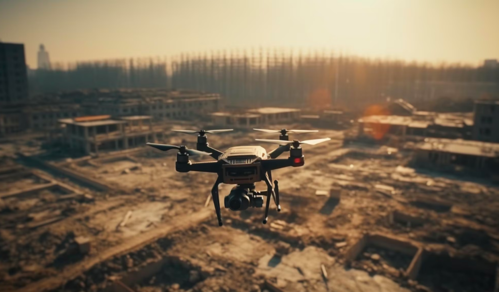
Response and relief: Drones play a crucial role in the aftermath of disasters, allowing for continual monitoring and control. These agile machines excel in data collection, GPS tracking, 3D mapping, aerial surveying, and monitoring, among other functions. By gathering real-time information and imagery, drones enable swift assessment of disaster zones, helping relief organizations understand the ground situation and plan their response accordingly. Their ability to access remote and inaccessible areas is particularly valuable in providing urgent assistance and support.
Remote assessment: One of the key applications of drones in disaster management is remote assessment. With their maneuverability and high-resolution cameras, drones can efficiently survey and track disaster-affected areas, capturing real-time images and collecting vital data. This data can be processed and mapped on 3D scales, facilitating quick and informed decision-making for relief operations.
Mapping disaster locations: Additionally, drones excel at mapping disaster locations. Through the integration of UAVs with 3D mapping technology, disaster management has advanced significantly. Drones can acquire GPS coordinates, tracking information, and aerial imagery of various disasters such as landslides, floods, and forest fires. This data is then mapped onto 3D scales, enhancing the clarity and understanding of disaster-stricken areas.

Cost-effective, fast, and reliable information with drones
The cost-effectiveness, speed, and versatility of drones make them indispensable tools in disaster management. Their ability to provide real-time situational awareness, gather accurate data, and access remote locations sets them apart from traditional methods such as helicopters. As a result, governments and relief organizations have recognized the immense potential of drones to enhance the effectiveness of relief efforts.
Drones have revolutionized disaster management by offering swift and efficient support during crises. Their applications in remote assessment and mapping have significantly improved the understanding of and response to disasters. As technology continues to advance, harnessing the power of drones will continue to play a vital role in promoting effective disaster management worldwide.
Marvel Geospatial provides reliable and high quality drone mapping services for disaster management. Connect with us on info@marvelgeospatial.com for your requirements