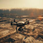
Pre-flight preparations are essential for safe and cost-effective drone operations, whether you’re mapping terrain or doing anything else. They help […]
Pre-flight preparations are essential for safe and cost-effective drone operations, whether you’re mapping terrain or doing anything else. They help […]
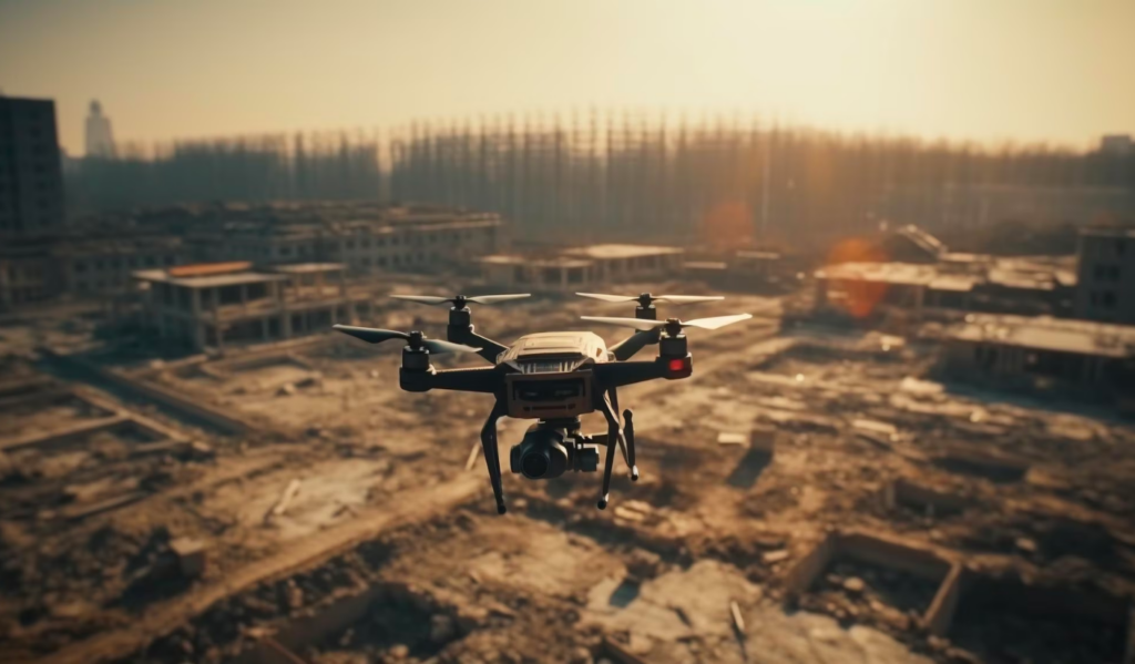
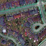
Use of drones for effective disaster management Disasters pose significant challenges and burdens on governments and relief organizations. Technological advancements […]

According to the Global Assessment Report on Disaster Risk Reduction (GAR), the number of disaster events, drought events and extreme temperature events is projected to increase based on current trends. Losses due to disasters are estimated to have exceeded USD 120 billion, not including economic losses. As per the National Hurricane Center Tropical Cyclone Report, Hurricane Ian is the third-costliest disaster in United State history, costing America USD 100 billion, causing 130 deaths and displacing 40,000 people.
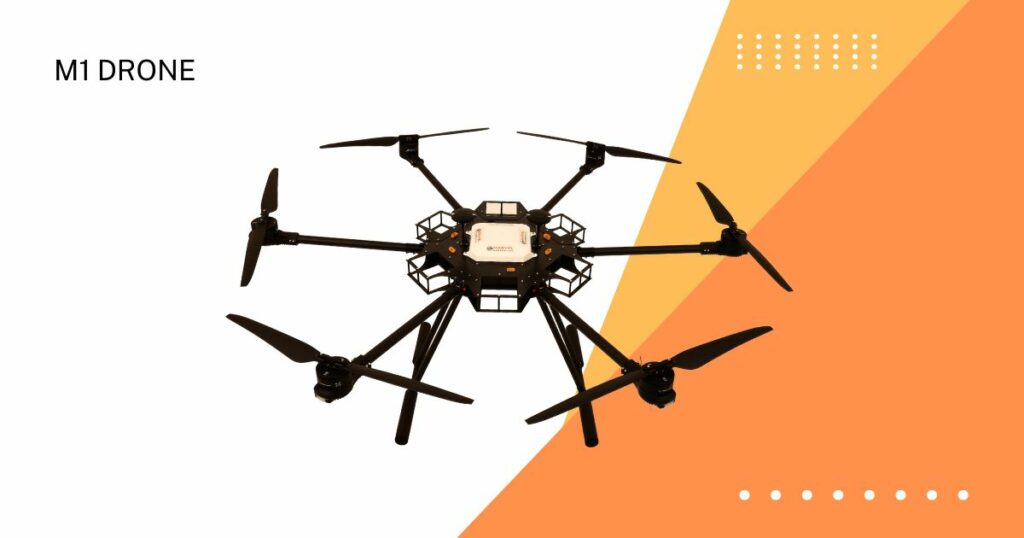
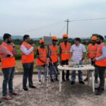
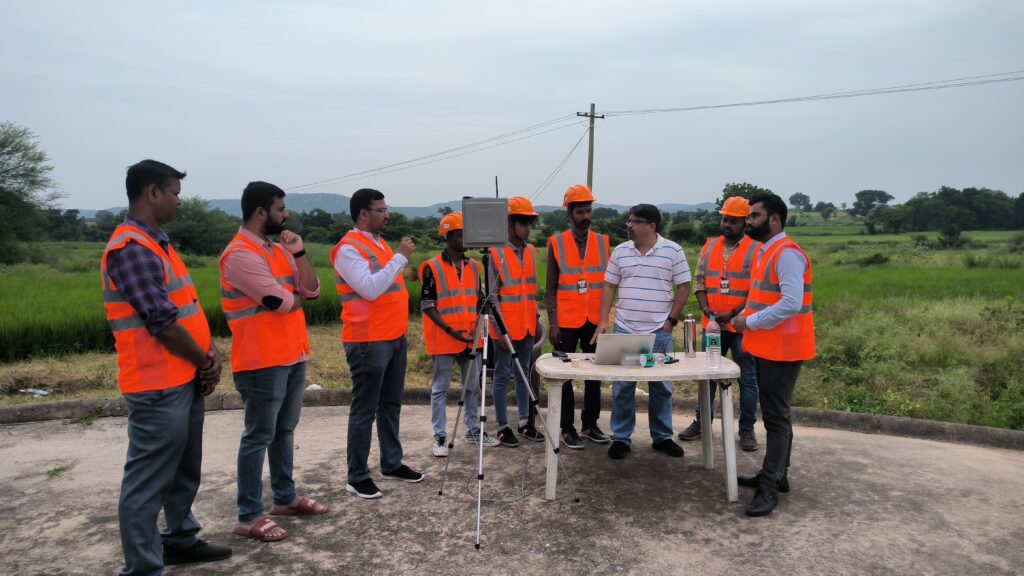
After an extensive and market-leading position in drone services, India-headquartered technology company Marvel Geospatial is now foraying into drone manufacturing.
Objectively integrate enterprise-wide strategic theme areas with functionalized infrastructures. Interactively productize premium technologies whereas interdependent quality vectors. Rapaciously utilize enterprise experiences.

Marvel Geospatial is excited to announce its participation in GeoSmart India 2023, the largest geospatial industry event in India, as Exhibitor. The conference will be held on 17-19 October, 2023 at Hyderabad International Convention Centre, India. Our visitors can meet us at Stall Number 34.