Search for:
Home
About
About Us
Our Team
Services
Surveying / Data Acquisition
Photogrammetry
LiDAR services
GIS / CAD
Digital Twins
BIM
Mobile Data Acquisition / Computer Vision
Navigation
Products
Mobile LiDAR
UAV LiDAR
SAR – Based Solutions
Drones
Industries
Transport Infrastructure
Telecom Industry
Mining
Smart Cities
Water Resources
Forestry
Mapping and Land Information
Utilities
Renewable Energy
Disaster Management
Careers
Contact
Search for:
Get in touch
Resources
Stay updated on industry trends and technology applications as we bring you blogs, case studies, and news updates
Blog
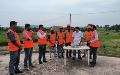
Five Crucial Drone Pre-Flight Procedures for Saving $$$
Read more
Blog
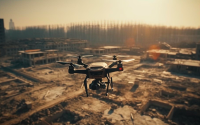
Use of drones for effective disaster management
Read more
Blogs
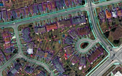
Understanding accuracy in photogrammetry: Relative and absolute measurements
Read more
Blogs
Revival of an archaeological heritage structure with BIM 3D laser scanning
Read more
Blog
We are celebrating 15 years of being in business
Read more
Blog
How Can Drones Be Used for Topographic Mapping?
Read more
Blog
Lidar Mapping Market to Surpass $4 Billion by 2026
Read more
Get in touch
Give us a call or fill in the form below and we will contact you. We endeavor to answer all inquiries within 24 hours on business days.
+91-40-66413226
info@marvelgeospatial.com
Error:
Contact form not found.