Land Surveying Services for Infrastructure Projects
Marvel Geospatial captures precise land surveys and geospatial data via drones plus GNSS for roads, utilities and urban projects. Topographic datasets drive engineering designs, site monitoring and smart city development without costly rework.
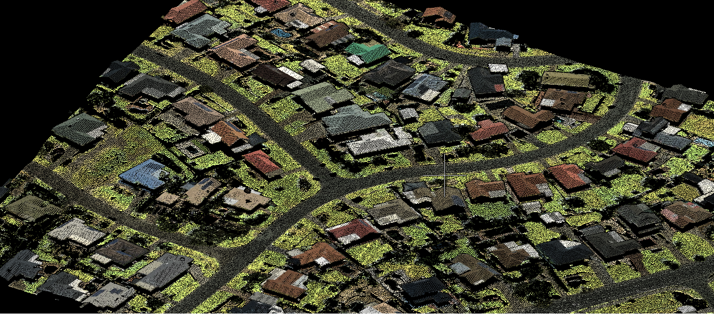
Drone surveying
- Drone-based data capture with RGB / LiDAR/ multispectral sensors for geo-tagged data
- Orthomosaic maps
- 3D point clouds
- Digital surface models
- Digital terrain models
- Contour lines
- 3D textured mesh

LiDAR mapping
- UAV LiDAR mapping
- Vehicle mount LiDAR mapping
- Handheld mapping
- 3D point clouds
- Planimetric mapping
- Contour generation
- Digital surface model (DSM)
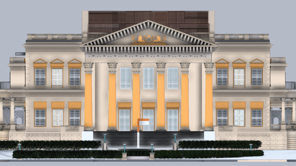
3D laser scanning
- Indoor mapping
- Scanning of built environments
- Infrastructure mapping
- Heritage mapping
- Facilities mapping
- Mobile mapping
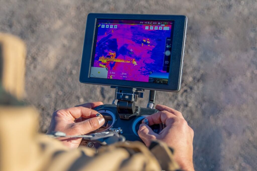
Thermal surveys
- Drone surveying with infrared camera
- Roof surveys
- Solar farm / panel surveys
- Energy surveys and audits
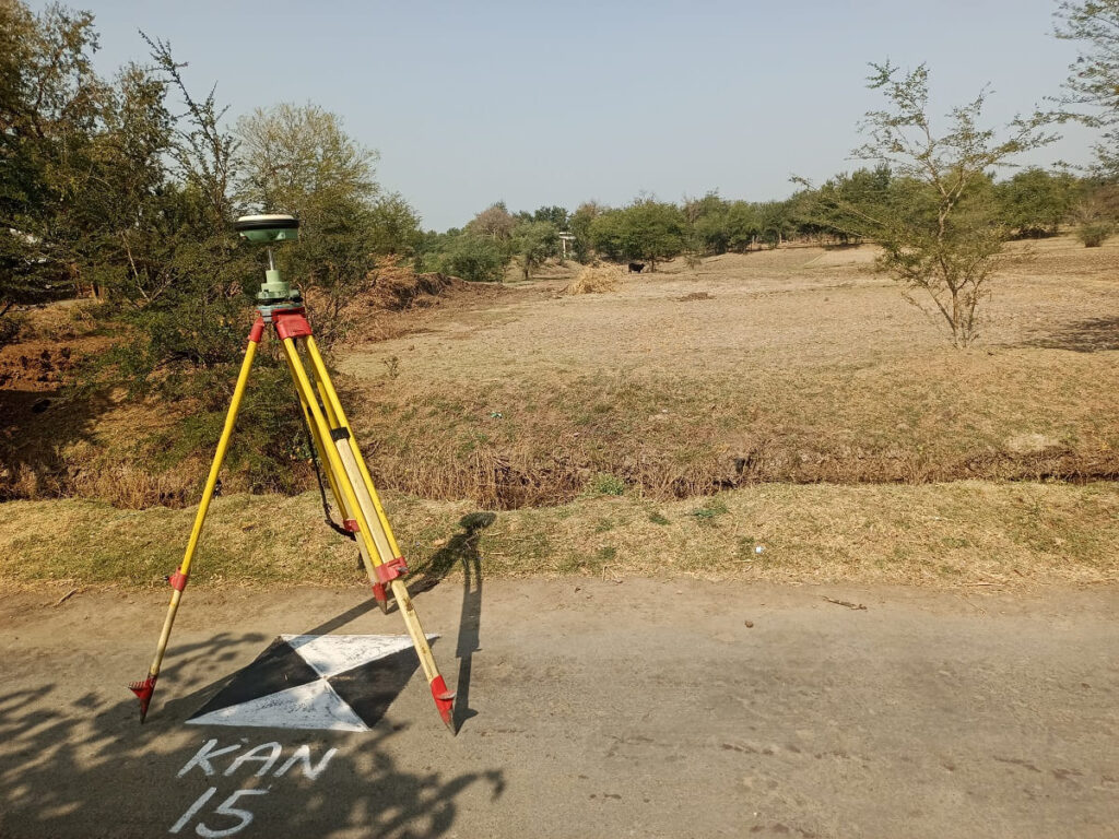
Ground control surveys using DGPS
- Coordinates calculation
- Precise position
- Real time data
- Feature validation
- CORS installation
Topographic and cadastral surveys
- Utility /telecom surveys
- Urban planning / property surveys
- Engineering surveys
- Household surveys
- Field updation of maps
- Wetland delineation
- Boundary surveys

Asset mapping
- Custom maps of assets
- Building and pipeline mapping
- Residential and commercial properties
- Roadway and drainage project staking
- Utilities mapping
- Facilities mapping

Drone video surveys
- Drone videography for infrastructure projects
- Project monitoring
- Asset management
- Operations & management

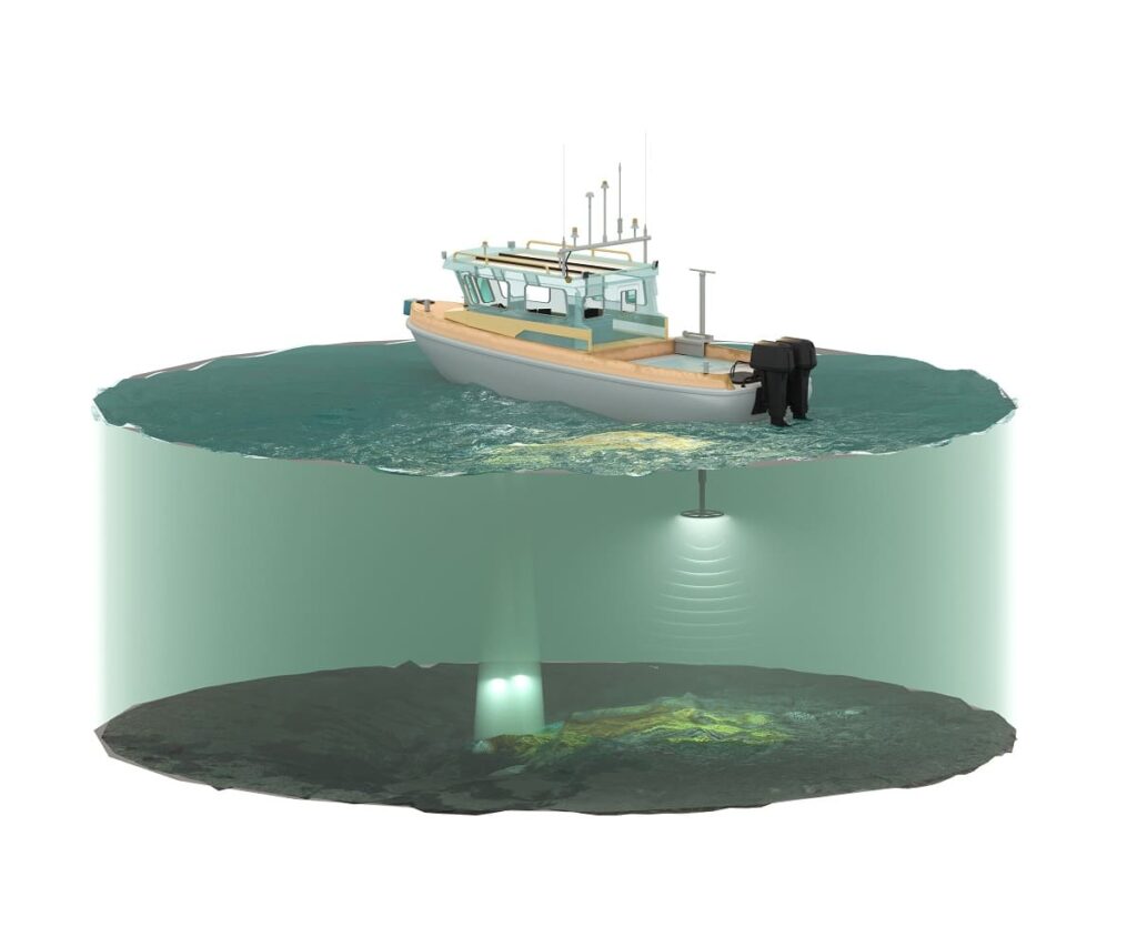
Bathymetry
- Depth contours
- Isobars
- Hydrological modelling
- River velocity maps
- Volume calculations
- Sediment distribution
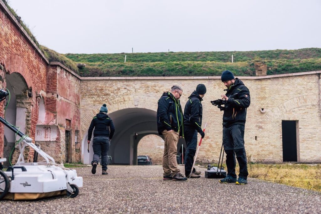
GPR (Ground penetrating radar)
- Subsurface utilities survey
- Underground geological features mapping
- Pre-excavation analysis
Let us know your requirement.
Get in touch with us for:
- Free consultation
- Service Order
- After-sales support