GIS Services for Enterprise & Government
Marvel Geospatial develops GIS layers, custom maps and CAD plans from diverse spatial sources. Robust platforms enable asset tracking, land records and analytics for enterprise and government operations.
GIS Data Conversion
- Conversion of analog data (maps, reports, charts) into a standard GIS format
- Conversion of non-traditional GIS data including satellite imagery, orthophotos and digital terrain data into acceptable tools
GIS Geodatabase Design, Development, and Management
- Converting outdated file-based GIS systems to highly scalable, high performance and secures Geo-database implementations.
- Consulting in the most sought-after geo-database architectures
- Support and maintenance services for geodatabases that include periodic enhancements to ensure updated version of the geographic assets to reflect topographic changes in the real world.
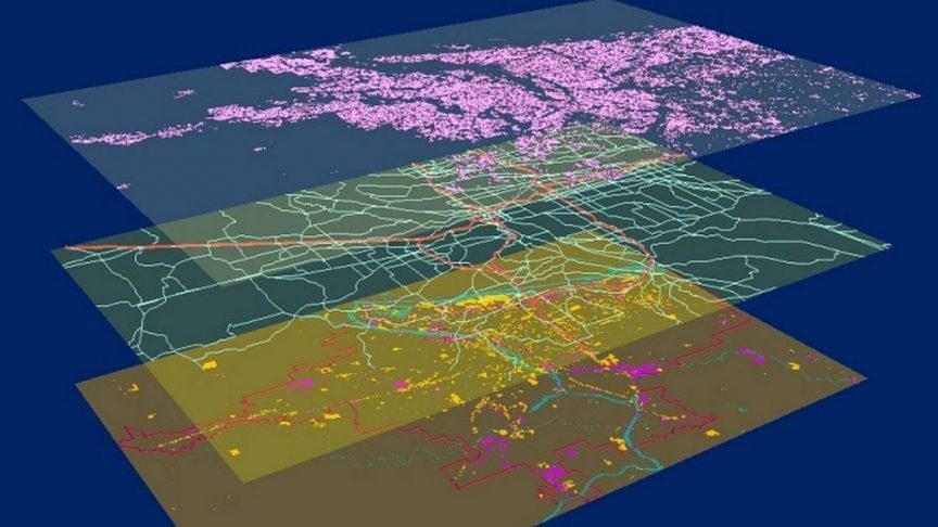
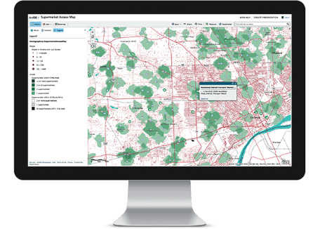
Geospatial data mapping and mining
- DWH (datawarehouse) solutions for enterprises with spatial and administrative data integrated together to help increase their business value
- Solutions not only involve storing and retrieving of spatial data, but also analyzes, reports and presents it based on specific business value.
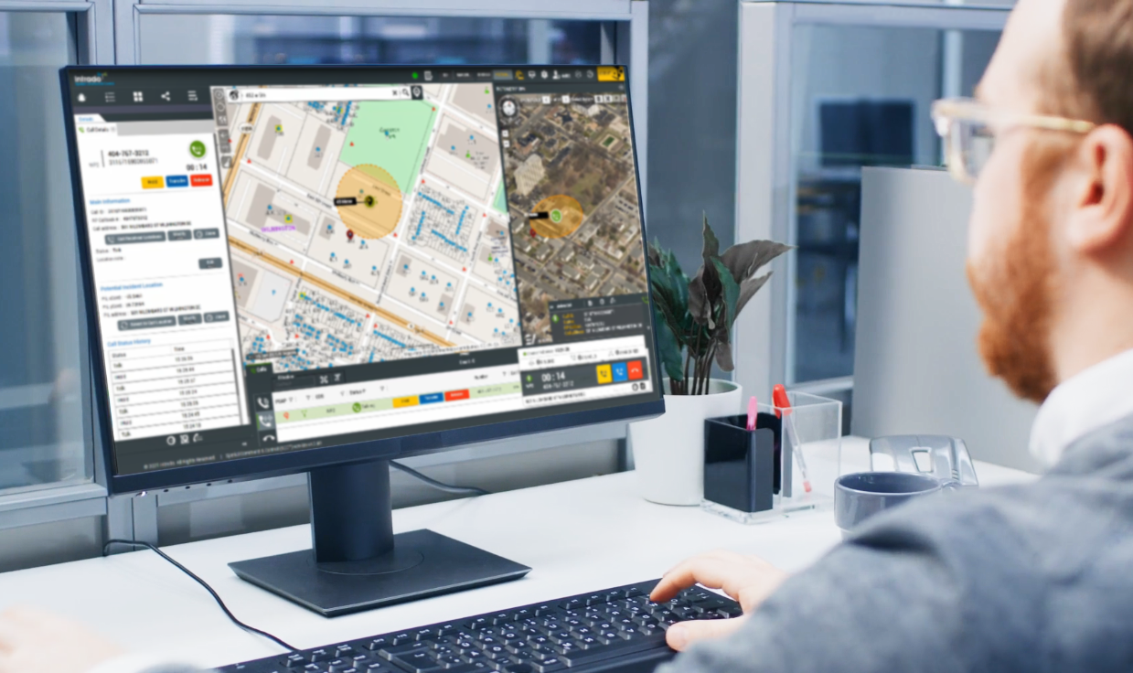
Enterprise Web GIS
- ‘Marvel for Enterprise’ platform that offers a complete GIS solution that runs on your infrastructure, behind your firewall and is integrated seamlessly with your enterprise systems and complies with your standards.
- On-the-go syncing and exchange of crucial geographic information, without the need to handle cumbersome server maintenance and disposal.
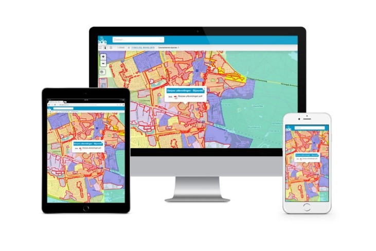
Custom Applications
- GIS applications as per your specific requirements
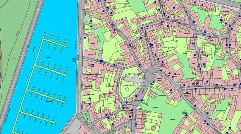
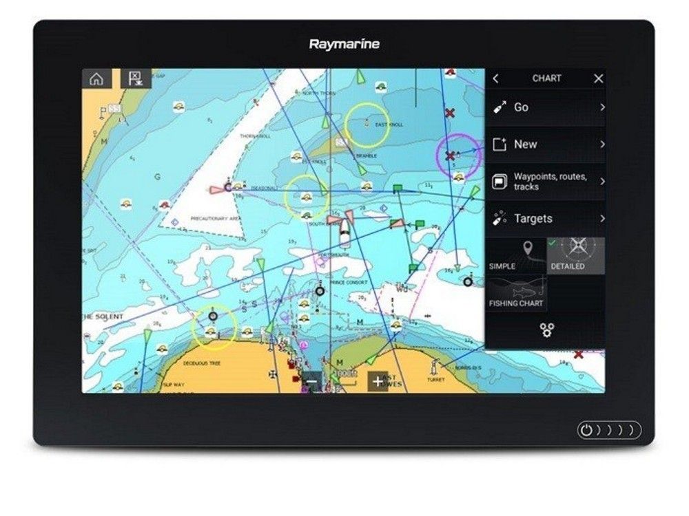
Cartographic output
- General reference maps
- Topographic maps
- Thematic maps
Let us know your requirement.
Get in touch with us for:
- Free consultation
- Service Order
- After-sales support