LiDAR Services for 3D Mapping & Analysis
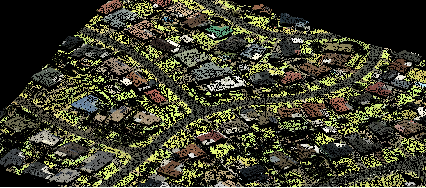
Marvel Geospatial generates high-density LiDAR clouds using aerial, drone and vehicle platforms. Resulting 3D terrain data supports highway profiles, asset detection and volume estimates for transportation and city initiatives. Whether you want geo-referenced LiDAR data, LiDAR services 3D modelling, or LiDAR data processing, we have you covered with solutions for all your LIDAR requirements.
Survey & mapping
- UAV LiDAR surveying
- Terrestrial LiDAR surveying
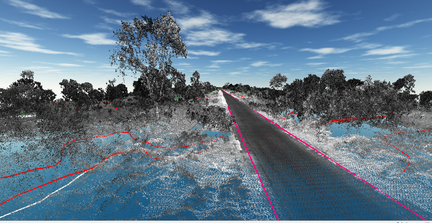
- Mobile / vehicle -mount LIDAR
- High fidelity data
- 3D point cloud generation

Data processing
- Point cloud classification
- DSM
- Feature extraction
- Contour generation
- Building extraction
- Advanced as-built 3D modelling
- Powerline classification
- PLS – CADD Modelling
- Terrain modelling
Planimetric mapping
- Detailed orthomosaics
- Elevation maps (DEM)
- Terrain maps
- Precise contours
- Details like transportation, buildings, structures, hydrography, vegetation, boundaries, utilities etc for comprehensive GIS solutions
Let us know your requirement.
Get in touch with us for:
- Free consultation
- Service Order
- After-sales support